Looking for some family-friendly hikes near Philadelphia! We’ve got you covered!
Philadelphia is a fantastic city, and we love to explore its museums and historic areas. But sometimes you want to be surrounded by nature!
Thankfully, a beautiful hike isn’t too far away. The kids will love to get out and explore the parks, rocks and enjoy the amazing views.
We share our favorite family-friendly hikes near Philadelphia below. And the best part? They are all less than two hours away from the city center. Let’s go!
Disclosure: Some of the links below are affiliate links, meaning, at no additional cost to you, we may receive a commission if you click through and make a purchase.
Prepare For Your Hike
Items You’ll Need on Your Hike
Before you leave for one of these hikes near Philadelphia, you’ll need to be prepared.
- Shoes: Wear supportive, comfortable shoes that you don’t mind getting dirty. There are several good options for toddler hiking shoes on the market. If you think your kids will want to dip their toes in the water on these hikes, pack along a pair of water shoes or bring a small towel to dry off their feet.
- Clothing: When hiking, you’ll want to dress in layers. Usually, it’s cooler in the mornings, but you’ll heat up as you walk along. Wearing t-shirts under light-weight zip-up sweatshirts is ideal.
- Water Bottles: Obvious! But just a reminder if you need it! These are great. They are spill proof and perfect for everyday use.
- Snacks or Picnic Lunch: Some of the hikes below can take a few hours, so be prepared with food and pack a small lunch if you’ll be out past the morning!
- Bug Spray and Sunscreen: Depending on the time of year, mosquitoes and gnats can be in full force. A good insect repellant will make the hike a little more pleasant. And sunscreen is always a good idea anytime you are outside.
- Hand sanitizer / Hand Wipes: You never know when you need to wipe down! Especially before eating.
- Bandages: Isn’t it inevitable that your child will fall and scrape a knee on a rock? No? Just my kids? Well, I still recommend bringing some bandages or even a small first aid kit. Better to have it and not need it!
- Backpack: To carry everything in. Need I say more? I prefer one with the side pockets to hold the water bottles and a front pocket to hold the wipes and bandages. But you can use whatever you own!
Be a Responsible Visitor
Remember as you visit these places to respect nature. Stay on established paths, pack out your trash (including food waste), and leave what you find behind.
The more popular these destinations become, the more we need to be diligent about keeping our parks and lands clean and safe for all. You can learn more here.
The Best Family-Friendly Hiking Trails in Philadelphia
Wissahickon Valley Park – Multiple Trails
- Trail Location: There are several parking areas and trailheads for Wissahickon Valley Park. Some trailhead access requires parking on neighborhood streets. Please be respectful of the people who live there.
- Trail Length: Varies – The trails are as short as 1.5 miles and as long as almost 8 miles. Combining trails allows you to customize distance.
- Trail Difficulty: Easy to Moderate- Forbidden Drive is a paved and gravel path and is accessible. However, the other trails can vary in steepness, making them more moderate (even difficult for some).
Of all of the trails listed here, the Wissahickon Valley Park trails are the closest hiking trails near Philadelphia because they are in Philadelphia!
Wissahickon Valley Park contains 57 miles of trails, and the majority of them are rocky, with average grades up to 11%.
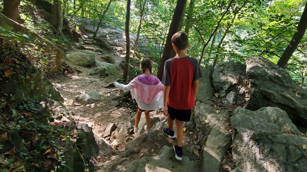
Depending on where you park, you can enter the trails and complete all of them, some of them, or combine them to create the perfect hike for you and your family.
Forbidden Drive runs along the Wissahickon Creek, giving families with strollers or wheelchairs an easy path to enjoy. You can see some of the beautiful historic bridges like the Thomas Mill Covered Bridge. It’s such a fun way to spend time with kids in Philadelphia.
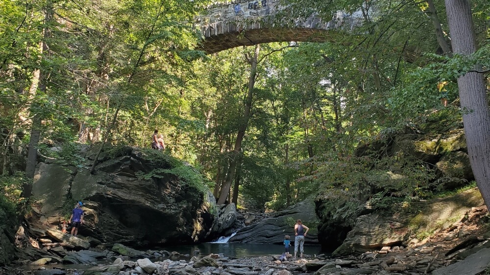
Those who would like more challenging hikes will enjoy any of the colored trails, though we are partial to the Orange trail, leading you to some interesting features like the Devil’s Pool or the Finger Span Bridge.
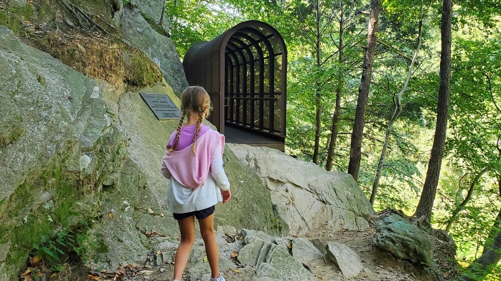
Friends of Wissahickon offers a printable map on their website and describes the various trails. The map also indicates the different parking lots
Our advice is to arrive early! Wissahickon Valley Park offers some of the best hikes near Philadelphia so the parking lots fill quickly, especially on the weekends.
Family-Friendly Hiking Trails Less Than a Hour From Philadelphia
Four Mills Nature Reserve
- Trail Location: You can access the trail at 12 Morris Road, Ambler. There are also entrances on Butler Pike (no parking) and further Morris Road (across from Carey Stadium at Germantown Academy).
- Trail Length: The trail is 1 mile long (2 miles out and back)
- Trail Difficulty: Easy, however there are stairs on the bridges and some stepping stones to cross the creek
The Four Mills Nature Reserve is the perfect trail to introduce little kids to hiking! This flat and easy trail in Ambler has enough fun features to keep small kids entertained while still being easy enough for them to complete.
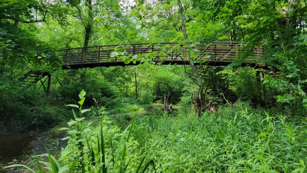
When you park at the Four Mills Barn entrance on 12 Morris Road in Ambler, you’ll enter about 1/3 through the trail. You can either go left, toward Butler Pike or right towards Morris Road.
No matter which way you choose, you’ll have access to the Wissahickon Creek, which is the perfect place for kids to dip their toes and toss rocks into the water. Maybe they’ll see a fish or two!
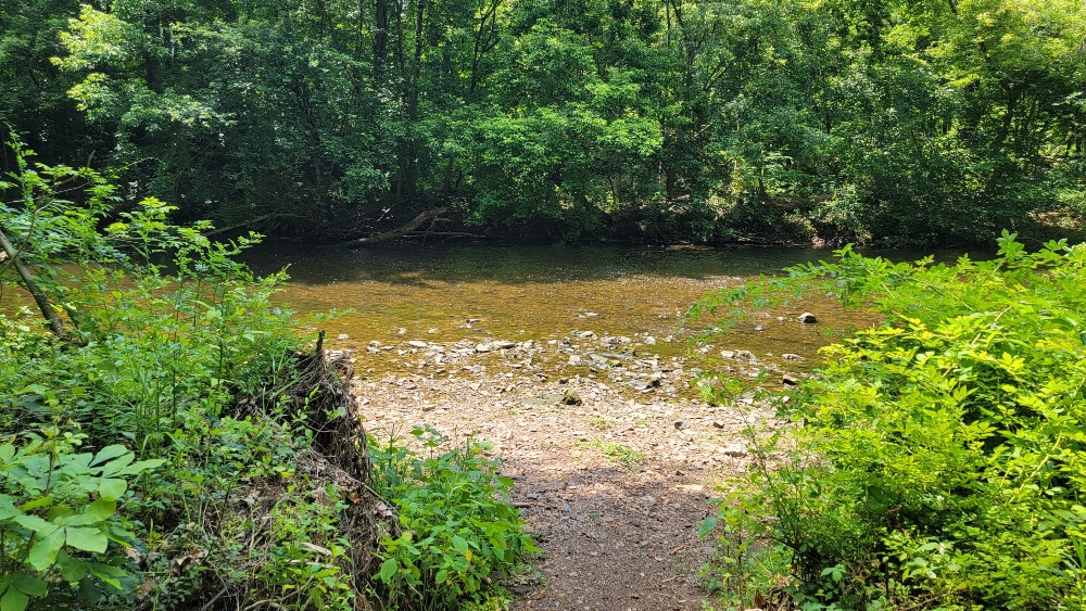
The main trail in the reserve is the Green Ribbon Trail, which is a 12.6 mile trail that runs from North Wales down to Flourtown. However, there is also a short trail (orange on the map) that follows the creek and eventually connects to the Green Ribbon Trail in the preserve.
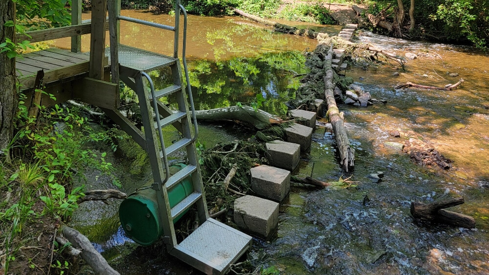
Along the trail, you’ll encounter three large bridges, several footbridges, and a stepping stone bridge and metal ladder that crosses Wissahickon Creek close to the Morris Road entrance.
Lorimer Park – South Park Loop
- Trail Location: From the parking lot, follow the trail down the hill and cross the bridge.
- Trail Length: 1.9 miles (full loop), however you can lengthen/shorten with crossovers
- Trail Difficulty: Easy-Moderate, some sections have steeper grade
Lorimer Park in Huntingdon Valley offers plenty of things to see along the trails. Although there are multiple trails within the park, the South Park Loop follows along two waterways (Pennypack Creek and Harper’s Run), giving it some interest for both young and older kids.
Starting in the parking, follow the paved path down towards Harper’s Run and cross the bridge. From there, you can head in either direction.
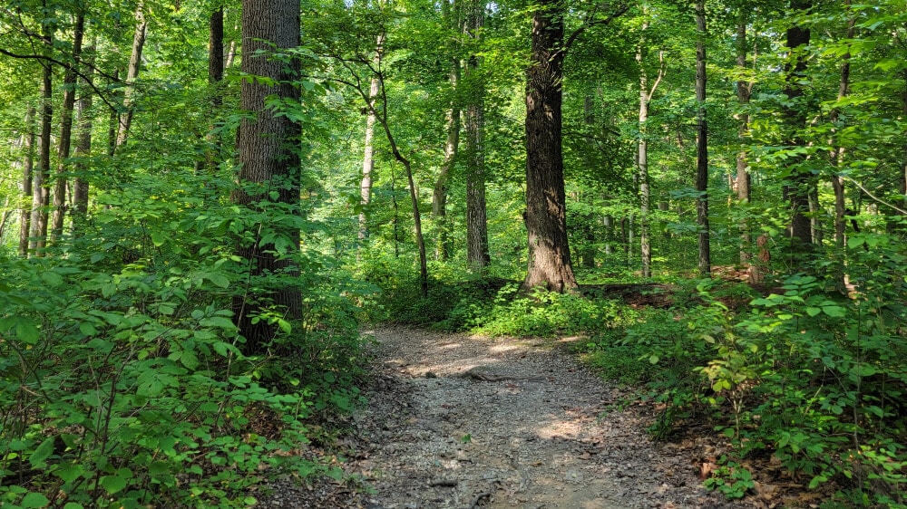
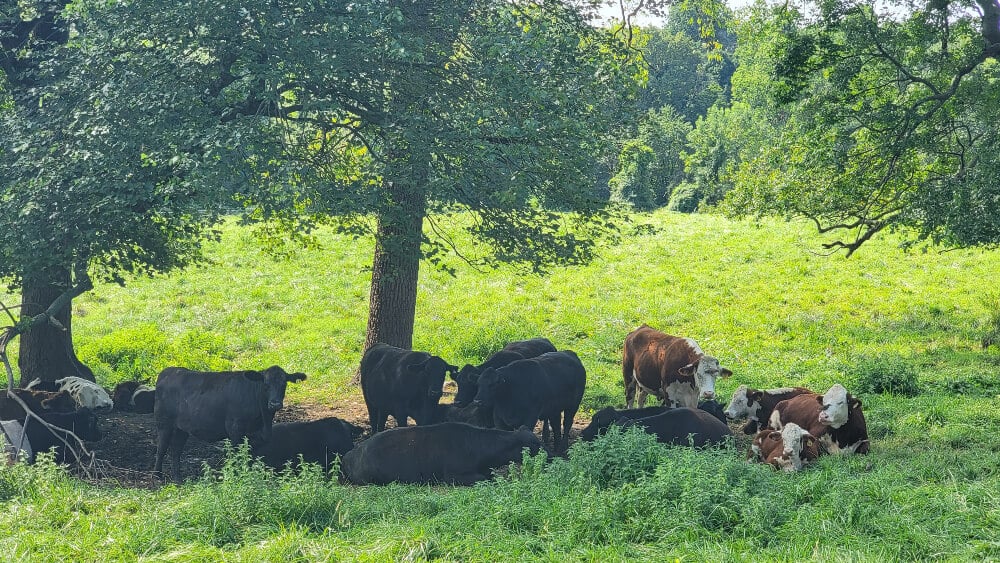
You can lengthen the trail by following part of the Pennypack Creek trail to the Fox Chase Farm. You might see some cows!
There are several benches along the trail for snack and rest breaks.
Across Moredon Road from the parking lot you will find bathrooms with flush toilets and a ranger station.
Tyler State Park Nature Trail
- Trail Location: The best entrance to reach the Nature Trail in Tyler State Park in Newtown, PA, is the Swamp Road entrance. Follow the signs to the boathouse. Once you’ve reached the boathouse, cross the pedestrian causeway over the Neshaminy Creek and then make a left. The trailhead will be on your right-hand side and is signed.
- Trail Length: 2 mile loop
- Trail Difficulty: Moderate- However, due to the steep incline and rocks jutting out on the trail, it could be difficult for smaller children
There are many Pennsylvania State Parks near Philadelphia that offer easy hiking trails for families. One of our favorites is the short nature trail at Tyler State Park. This trail is perfect for an afternoon or morning out. You can combine it with the other paved trails in the park to make a fun family outing.
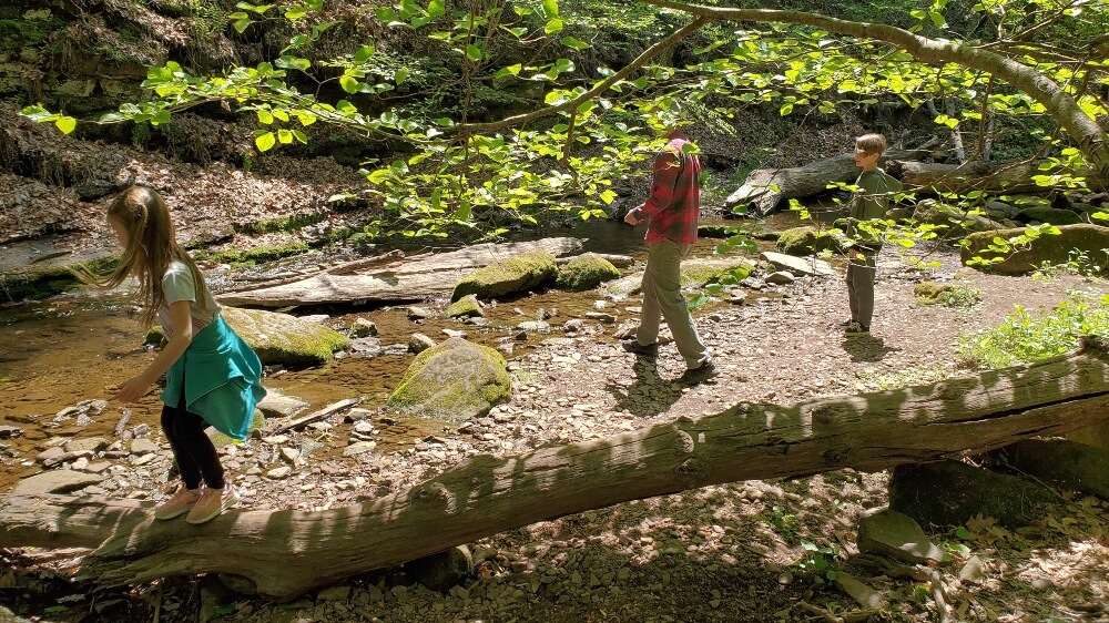
The Nature Tail starts and finishes on the Mill Dairy Trail, just south of the pedestrian causeway.
On the first half of the trail, you ascend a steep path that runs along the Potter Run Creek. There are several places to access the creek and explore the natural life, including small fish, frogs, and snakes.
About halfway up the trail, there is a bridge that crosses over to the returning side. You can cross there and shorten your hike or continue up the path. We recommend continuing as the trail gets a little more fun!
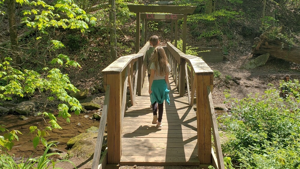
Once you reach the top of the trail, make a left onto the paved walking path, cross over Potter Run Creek, and look for the return trail entrance. From there, you get to descend back down to the Mill Dairy Trail Path.
Valley Forge National Historical Park – Multiple Trails
- Trail Location: To access Mount Misery Trail, park at the Yellow Springs Trail parking lot. The trailhead is across Yellow Springs Road, about 400 feet from the lot. To access Mount Joy Trail, park at the Artillery Park lot and walk down the Inner Line Loop road about .2 mile.
- Trail Length: The trails vary in length, up to 3 miles each, depending on which route you take.
- Trail Difficulty: Mount Misery/Wolfinger: Moderate-Difficult due to the steep incline and rocky paths. Mount Joy: Moderate
We love Valley Forge National Historical Park! It’s so awesome to have such a unique piece of history so close to home.
If you haven’t explored the historic side of the park, DO IT! Your kids will have fun and everyone will learn something.
However, you’re here because you want to find a family-friendly hike close to Philadelphia. And Valley Forge has a many hiking options.
The two main hiking trails are the Mount Misery/Horseshoe Trail and the Mount Joy Trail. And they do not falsely advertise!
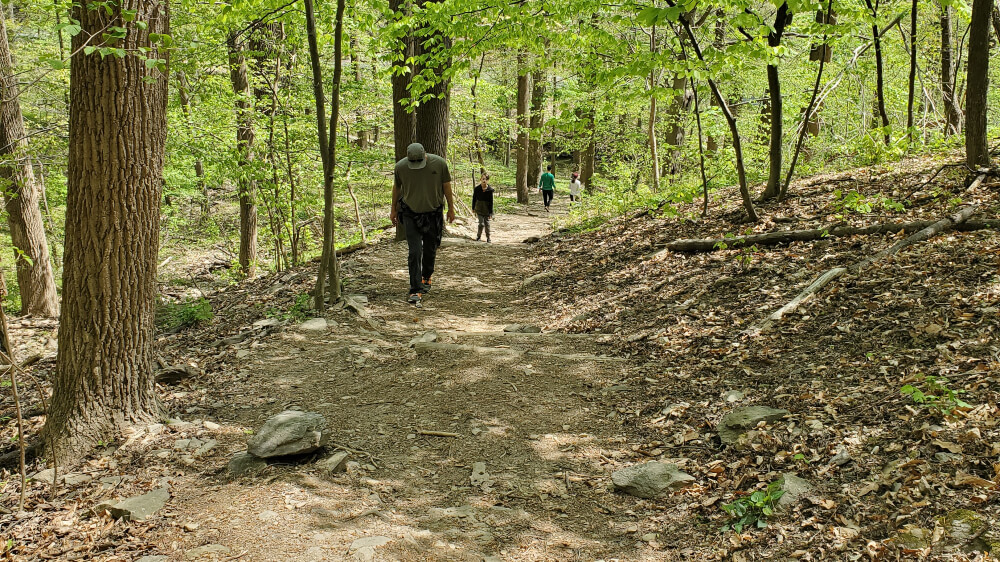
Mount Misery Trail is a very steep, moderate-intermediate trail. Your family may need to take breaks ascending the mountain.
It connects to the Horseshoe Trail, which leads to some ruins (heading west), or will take you down the mountain towards the Valley Creek Trail (heading east).
We recommend going west on the trail to check out the ruins. They are fun to explore!
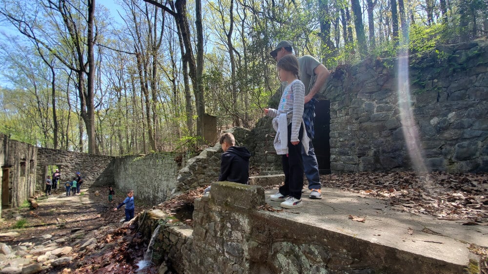
From there, you can connect to the Valley Creek Trail (a flat, gravel trail) or backtrack to the Mount Misery Trail.
If you choose to hike the Mount Misery Trail, park at the Yellow Springs Trail parking lot. There are bathrooms (outhouses) and picnic tables as well.
Mount Joy is flatter than Mount Misery, and it is about 3 miles to hike the full loop. The trail crosses itself is a few places, allowing you to shorten the hike.
To access the Mount Joy Trail, park at the Artillery Park lot, where there are also bathrooms and picnic tables. The trailhead is a short walk from the lot.
Ridley Creek State Park – Multiple Trails
- Trail Location: Trails can be accessed in various parts of the park, but we recommend starting at parking areas 9, 16, or 17
- Trail Length: The trails vary in length, up to 13 miles long.
- Trail Difficulty: Moderate-Difficult based on steep inclines/declines along the trails, along with some rocks and roots on the trail
Ridley Creek State Park is another awesome state park in Delaware County, right outside of Philadelphia. This park features over 13 miles of hiking trails that intersect in several places, allowing hikers to “build their own” trails.
The three main trails are the yellow, blue, and white trails. They are easily accessed from parking areas 9, 16, and 17.
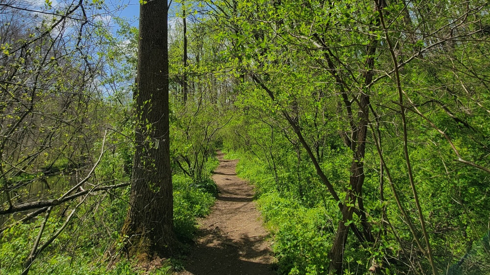
The trails are moderate-hard based on the incline of some of the trails, and there are some rocks and roots to contend with.
The trails primarily meander through the forests, but a section of the white trail follows Ridley Creek. There are ruins along the blue trail (on the loop south of the white trail).
All of the trails are clearly marked, with posts indicating the intersections. Download the park map onto your phone to guide you through the trails and help you create your own adventure!
You can combine your hike at Ridley Creek State Park with a visit to the Tyler Arboretum. Tyler Arboretum is one of our favorite gardens in the Philadelphia-area and it’s right next to Ridley Creek!
Goat Hill Overlook
- Trail Location: George Washington Road in Lambertville, NJ. There is a small parking lot (8-10 cars) down the drive to the left. No bathrooms are on site.
- Trail Length: The main trail is 1 mile in total. The longer loop is 2.3 miles.
- Trail Difficulty: Moderate due to some steep sections, but overall it is an easy trail for kids and adults.
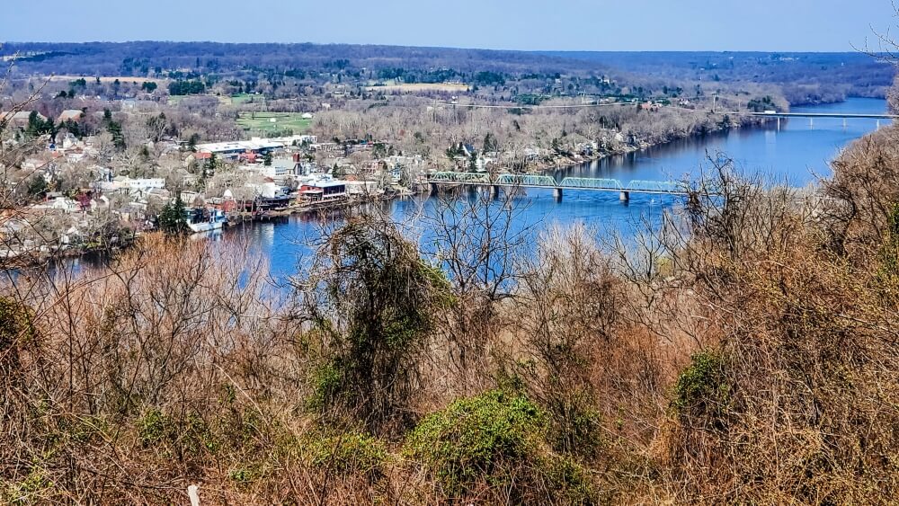
The Goat Hill Overlook in Lambertville, New Jersey, offers amazing views of the Delaware River and Bucks County. There are two trail options. The shorter one is about one mile and leads directly to the overlook. The trail itself is gravel and a bit steep.
The second trail is longer and can be a bit confusing. It heads to the left and is marked by yellow blazes. At some point, a white-blazed trail will be on your right, but it looks like the yellow blazes continue.
Don’t follow the yellow trail at that point! We followed the yellow blazes for a few hundred yards, and then they stopped, causing us to back track to the white blazed trail.
Once you are on the white-blazed trail, several red and dark purple blazes indicate overlooks and view points. Follow them because you won’t be disappointed! You will eventually join the main trail. Head to the left for the official Goat Hill Overlook vista.
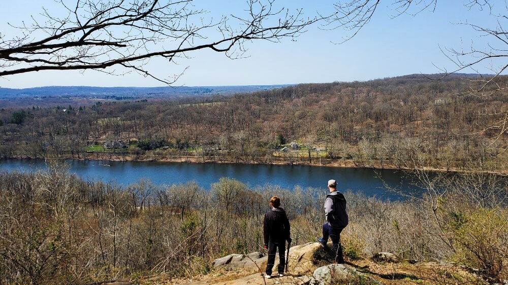
The multiple overlooks give great views of Bucks County. To the south, you can see Bowman’s Tower.
As you head back north, New Hope and the New Hope-Lambertville Bridge come into view! Bring a picnic lunch and blanket. The main overlook is cleared of trees and offers a perfect place to rest while you take in the view.
Sourland Mountain Preserve
- Trail Location: The preserve’s parking lot is at 421 East Mountain Road, Hillsborough, NJ. To access the other trails, you have to hike on the orange trail.
- Trail Length: Varies from 1.4 miles to 5.4 miles
- Trail Difficulty: Moderate due to some of the very steep sections and rocky paths.
The Sourland Mountain Preserve in Hillsborough, New Jersey, is so beautiful and is the perfect place to get lost for a few hours. With several trails to combine and explore, hike lengths range from 1.4 to 5.4 miles.
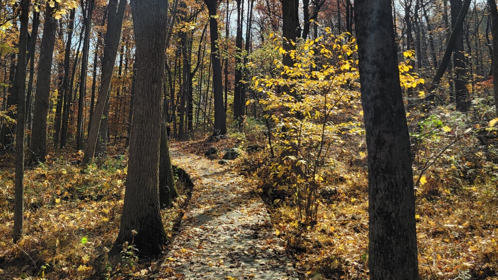
The trails are rocky and steep in some areas. At some points, staying on the path requires climbing on and over large boulders.
Kids will love the Devil’s Half-Acre (yellow) trail, with massive glacial erratics they can climb on and over. To get that trail, take the Maple Flats Trail (orange) to the yellow trail. The loop will be about 2 miles long.
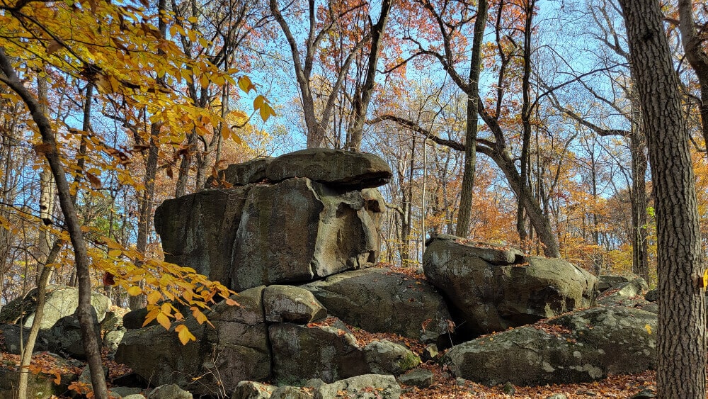
While all of the trails are well-marked, you’ll need to pay close attention to the trail when walking through the boulders, especially during the fall and winter months when the path is less obvious. These trails twist and turn, keeping the hike exciting and making it easy to lose your way.
Herrontown Woods Nature Preserve
- Trail Location: The parking lot for Herrontown Woods is at 600 Snowden Ln, Princeton, NJ 08540. From here, the Red Trail leads to the other trails.
- Trail Length: The main Red Trail loop is about 1.5-miles. However you can lengthen or shorten that using other trails.
- Trail Difficulty: Easy with some rocks and roots along the trails
Herrontown Woods in Princeton, New Jersey, is perfect for introducing young kids to hiking. They get to explore the woods while navigating rocks, roots, logs, and water crossings on a relatively easy trail.
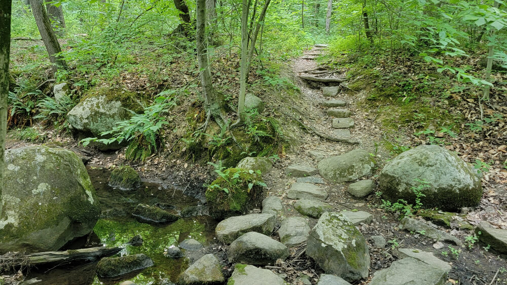
The Red Trail is the main trail, connecting the parking area to the other trails in the preserve. The loop is about 1.5 miles but can be lengthened or shortened depending on your route.
For the most part, the trails are clearly marked and follow the map provided online. There are confusing spots, but not enough to get you lost. Sometimes the Yellow Square is a Yellow Triangle. But it gets you where you need to be!
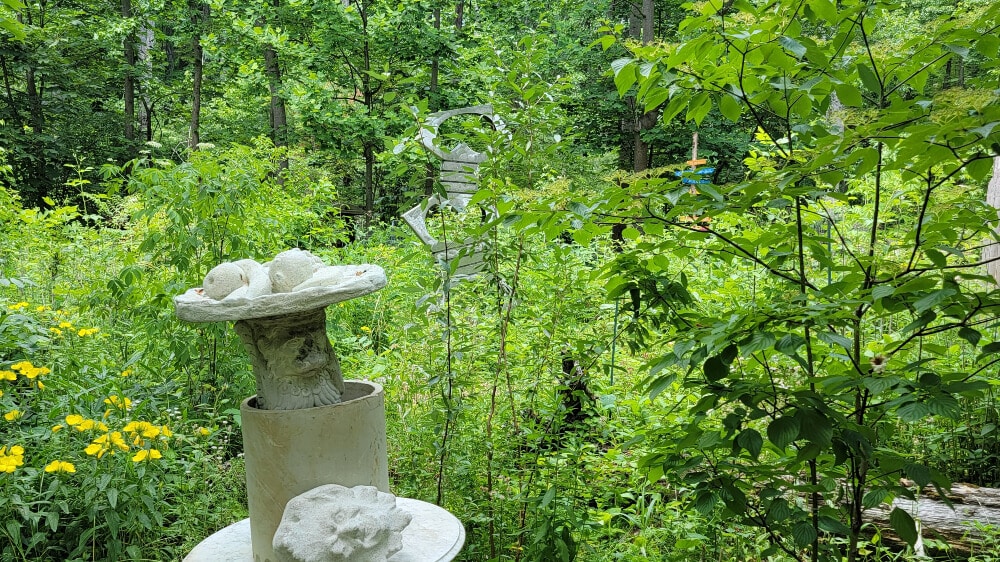
One of the unique areas of the Herrontown Wood Preserve is the botanical garden, or “Barden,” as they call it. This small area has fun finds like sculptures, structures, and a “someone’s trash is another’s treasure” kind of vibe.

Herrontown Woods was donated to Princeton by Oswald and Elizabeth Veblen. Their house, cottage, and shed (with a ping pong table) are still on the property and can be explored outside.
Awesome Hikes for Families Less Than Two Hours From Philadelphia
Wildlands Conservancy South Mountain Preserve – Alpine Street Trail
- Trail Location: The Trailhead for the Alpine Street Trail is at the end of Alpine Street.
- Trail Length: 2 miles
- Trail Difficulty: Moderate – Some sections are steep and rocky
The Alpine Street Trail is just one of the many trails at the South Mountain Preserve in Emmaus, PA. This family-friendly hike right outside of Allentown has plenty to keep kids excited and interested during the hike.
You can take the trail in either direction. Follow the orange blazes as other trails cross the Alpine Street Trail at different spots.
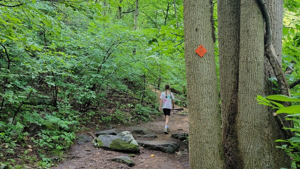
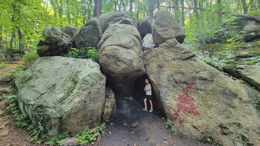
The trail has a steady incline to the top, where kids can have fun climbing on and around some big boulders. The boulder field isn’t as big as others on this list, but they are still fun.
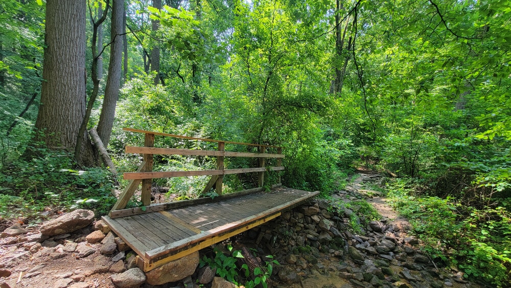
There are some footbridges and a stream you’ll be crossing on the trail. After heavy rainfall, those sections might be slippery and entice little ones to get their hands wet!
This trail would be fun to combine with the Lost River Caverns since they’re less than a 20-minute drive away. This would allow you to fill your day with fun, natural activities.
High Rocks Vista Trail
- Trail Location: Tory Road between Stover Park Road and Wormansville Road in Pipersville, PA
- Trail Length: Total length of the loop is 3.9 miles, but you can shorten the hike by crossing over to the return trail in many locations
- Trail Difficulty: Moderate-Difficulty. The elevation change, steep grade, and rocky paths can make this trail challenging for little kids
The High Rocks Vista Trail is one of those trails that feels like you need to be “in the know” to know about. Located between Ralph Stover State Park and Tohickon Valley Park, the trail starts high up above the Tohickon Creek and eventually makes it down towards the creek bed.
High Rocks Vista Trail is very popular with rock climbers. There are sections along the trail where climbers can belay down the rocks towards the creek. It can be fun to watch if you catch them at the right time!
There is a small parking lot across the street from the trailhead on Tory Road between Stover Park Road and Wormansville Road.
After parking, cross the street to the trail and head towards the left. The trail is marked with red/white trail blazes closer to the creekside and yellow blazes closer to the road.
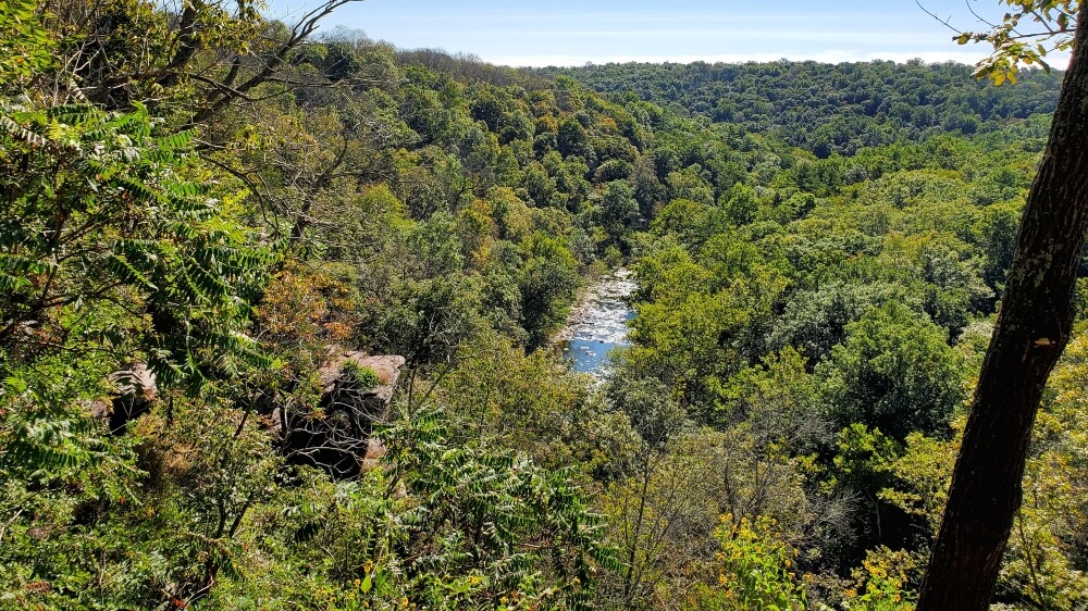
There are several places to break off the path to overlook the creek, which we highly recommend.
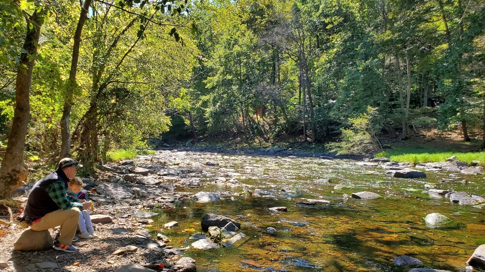
As you descend down the trail, you’ll arrive close to the Tohickon Creek bed. We stopped for a snack break before hiking back up to the car. It’s a perfect place to skip stones and enjoy the peaceful surroundings.
Ringing Rocks Park Trail
- Trail Location: Ringing Rocks Rd, Upper Black Eddy, PA 18972
- Trail Length: 1-mile loop
- Trail Difficulty: Easy to Moderate – The trail is rocky and if you want a better look at the waterfall, the steep descent to the creek bed can be difficult for some
Ringing Rocks County Park offers more than just a waterfall hike near Philadelphia.
About 1.5 hours outside of the city, in Upper Black Eddy, this family-friendly hike gives kids the chance to make some natural music. The rocks in the boulder field at Ringing Rocks ring when you hit them with a heavy, blunt object, like a hammer.
This feature makes Ringing Rocks one of our favorite things to do in Bucks County! During some busy weekends, you can hear a cacophony of metallic sounds in the park.
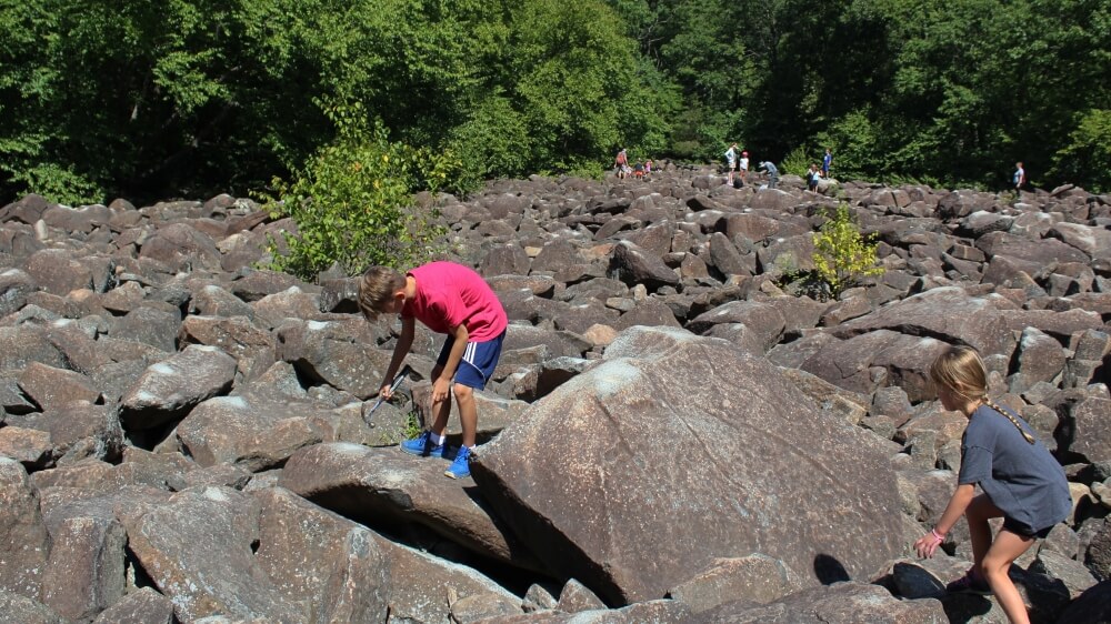
The rocks aren’t the only feature at this park. The Ringing Rocks park trail leads you to the Falls Creek Waterfall. Depending on the time of year, the water level can be minimal, allowing you to walk on the creek bed. It’s one of our favorite waterfall hikes near Philadelphia!
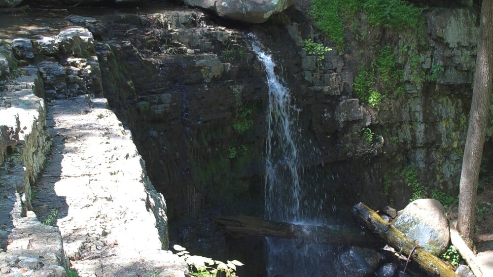
If you plan on conquering this trail on the weekends or during the summer, arrive early. The parking lots fill up quickly. Adjacent to the parking lot are plenty of picnic tables and outhouse-style bathrooms.
Nockamixon State Park – Multiple Trails
- Trail Location: The more moderate trails are accessed off of Mountain View Road (state route 563).
- Trail Length: .Trail lengths range from 1.2 miles to 13.5 miles
- Trail Difficulty: Easy to Moderate – The easiest trails are on the south side of the lake, while the more moderate and steep/rocky trails are on the north side of the lake.
Nockamixon has several family-friendly hiking trails about an hour from Philadelphia. Trails range from easy to moderate. The easiest trails are on the south side of the lake, by the cabins and spillway. The more moderate trails are on the northern side of the lake and can be steep in some sections.
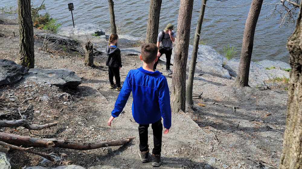
Depending on the style of trail you’re interested will determine where you’ll want to park. There are multiple parking lots along the south side of the lake, giving you easy access to the Elephant, Church, and Mink trails.
For the north side trails, you’ll want to park at either the Sterner Mill Hiking area or the parking lot off of Old Bethlehem Road, both are accessed off of Mountain View Drive (state route 563).
In addition to hiking, Nockamixon is a one-stop shop for outdoor fun. Horseback riding, boating, and mountain biking are some of the activities available at this Pennsylvania State Park. There are also cabins you can rent for camping. Click here for a map of the park.
Bake Oven Knob
- Trail Location: Trailhead for Bake Oven Knob is off the northeast parking area on Bake Oven Rd (40.74529898815804, -75.73810590552718)
- Trail Length: .4 miles to overlook (.8 miles total)
- Trail Difficulty: Easy to Moderate – Slight incline and rocky trail. The lookout is rocky with large boulders to climb on.
This section of the Appalachian Trail is perfect for beginner hikers who want to reach a beautiful overlook without having to hike up huge inclines.
The Bake Oven Knob overlook is about .4-mile from the parking area off Bake Oven Road. The trail is very rocky and has some inclines, but the overall gain is minimal.
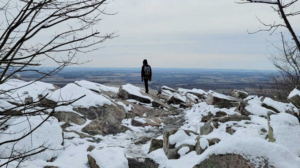
The large open lookout allows visitors to sit and enjoy views of the Lehigh Valley.
If you’d like a similar but longer hike, park across the street. From there, you can use the Appalachian Trail to hike southwest to Bear Rocks, about 1.5 miles one way.
Hawk Mountain Sanctuary – Multiple Trails
- Trail Location: To access the Hawk Mountain Sanctuary trails, park at Hawk Mountain Sanctuary and then cross Hawk Mountain Road.
- Trail Length: .Trail lengths range from 2 – 5.5 miles
- Trail Difficulty: Easy to Difficult- The easiest trail is the Silhouette Trail. The Lookout, Skyline, Golden Eagle, and River of Rocks trails are moderate-difficult.
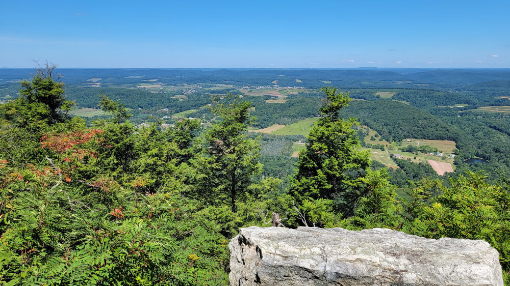
Hawk Mountain Sanctuary offers some of the best family-friendly hiking in Berks County. Located in Kempton, PA, it has several hiking trails that range from accessible to difficult.
The most popular trail is the Lookout Trail, which leads to the top of Kittatinny Ridge and gives 200° views of the surrounding area. The Lookout Trail is a one-mile, out-and-back trail that starts off easy and progresses to moderate about halfway through the trail.
There are multiple overlooks on the trail, including the Sunset Overlook, which requires ascending several large boulders and navigating a rocky trail.
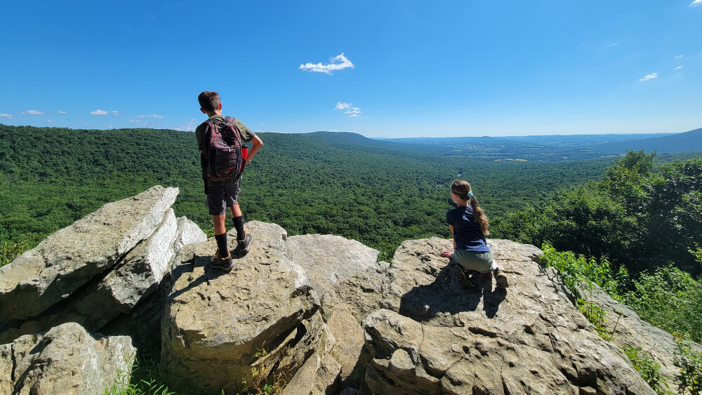
The accessible trail is the Silhouette Trail, a 900-foot-long paved and gravel trail that leads to the South Overlook.
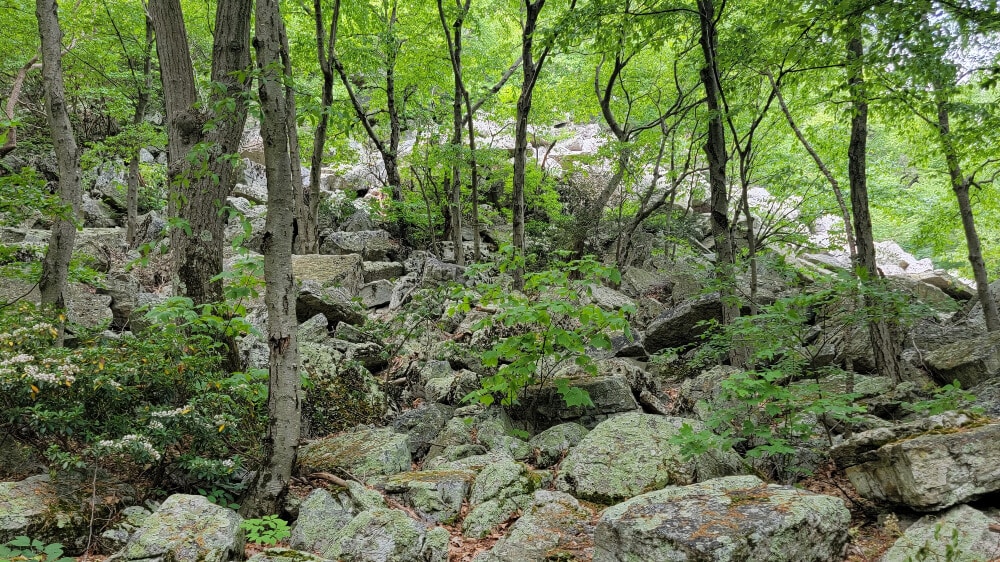
The other trails at Hawk Mountain range from moderate to difficult due to the rocky terrain and obstacles, like the 30-foot vertical descent (or ascent!) on the Skyline Trail.
The trails can be combined to make loops ranging from 3 -5.5 miles long. If you choose to hike any of these loops, give yourself plenty of time and daylight to complete them.
Hawk Mountain Sanctuary charges a fee to access its trails. At this time, it costs $10 for anyone 13 and older, $5 for children 6-12, and FREE for children five and under.
There is plenty of parking at the sanctuary, but it’s always a good idea to arrive early to avoid crowds on the trails. Also, note that dogs are not allowed at the sanctuary. There are bathrooms at the visitor center and also at the bottom of Lookout Trail.
Pulpit Rock and Pinnacle Trail
- Trail Location: The trail’s parking lot is about .5 miles north on Reservoir Road off of Mountain Road in Hamburg, PA. The trailhead is another .5 mile up Reservoir Road on your right-hand side.
- Trail Length: The full loop is 9 miles, but you can shorten the hike by hiking to the Pulpit and back (5 miles).
- Trail Difficulty: Moderate-Difficult. Some steep grades and rocks on the trail keep this hike fun and interesting
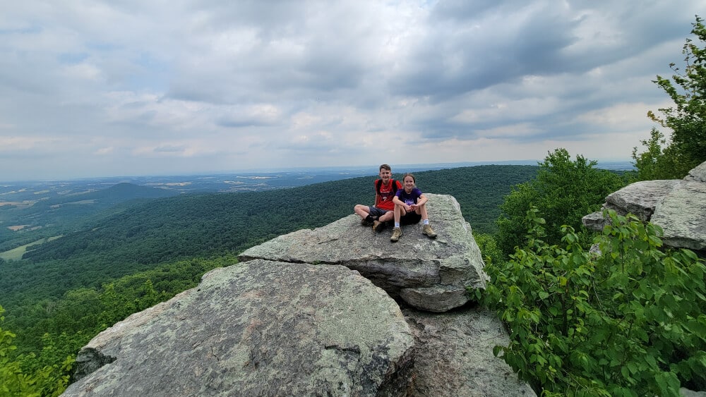
Are you interested in hiking on part of the Appalachian Trail? Then, we recommend the Pulpit/Pinnacle Trail. For a shorter hike (about 5 miles round trip), you can hike to Pulpit Rock and enjoy some beautiful vistas of the mountains and valleys below.
Do you have the whole day to hike? Continue to the trail to the Pinnacle, adding another 4.5 miles to your round trip length.
The hike to the Pinnacle is worth it! It’s the perfect place for your picnic lunch. While you are there, climb down to the bottom of a rock scramble to a small cavern that is easy to ascend.
Just be aware of copperheads and rattlesnakes. They keep to themselves most of the time, but you may occasionally find them sunning themselves on the rocks or trails.
Arrive at the parking lot as early as possible. Like many of these hikes near Philadelphia, the trail is popular, and the lot fills up quickly!
Alternate Starting Point: For a shorter hike to both Pulpit Rock and the Pinnacle, park at Blue Rocks Campground (day-use fee required). The trail is about 6.5 miles and the trailhead has clean bathrooms! However, both the blue and yellow trails (leading from and to the campground) are steep. Bring hiking poles!
Shades of Death at Hickory Run State Park
- Trail Location: Shades of Death lower trailhead is at 41.02466941110019, -75.70988292934165 on PA-534. The upper trailhead is accessed from the Hickory Run State Park visitor’s center.
- Trail Length: The trail is an out and back trail, approximately 2.5-3 miles round trip.
- Trail Difficulty: Moderate, but technical. The multiple rocks and roots along the trail require decent footwear.
Hickory Run State Park is known for camping and hiking! Attractions like the enormous boulder field and beautiful hiking trails draw in visitors from all over. One of the more popular trails is the Shades of Death trail, and it’s easy to see why!
Multiple natural waterfalls and man-made dams along the Sand Spring Run give hikers plenty of spots to stop and enjoy the wonder of nature.
The trail is not difficult, but it is technical, with many large rocks and roots to climb over. There is even a narrow stone staircase at one section. And the multiple dams along the trail make for great fishing spots.
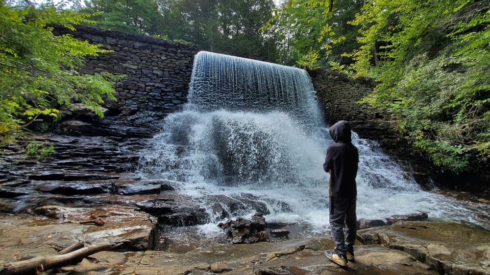
As of 2020, there are two trailheads to Shades of Death. The lower trailhead is accessible right off of 534. There is a very small parking area and a few port-o-johns.
The upper trailhead is accessed from the visitor center, which we recommend parking at. The center has ample parking, bathrooms, picnic tables, and water bottle refill stations.
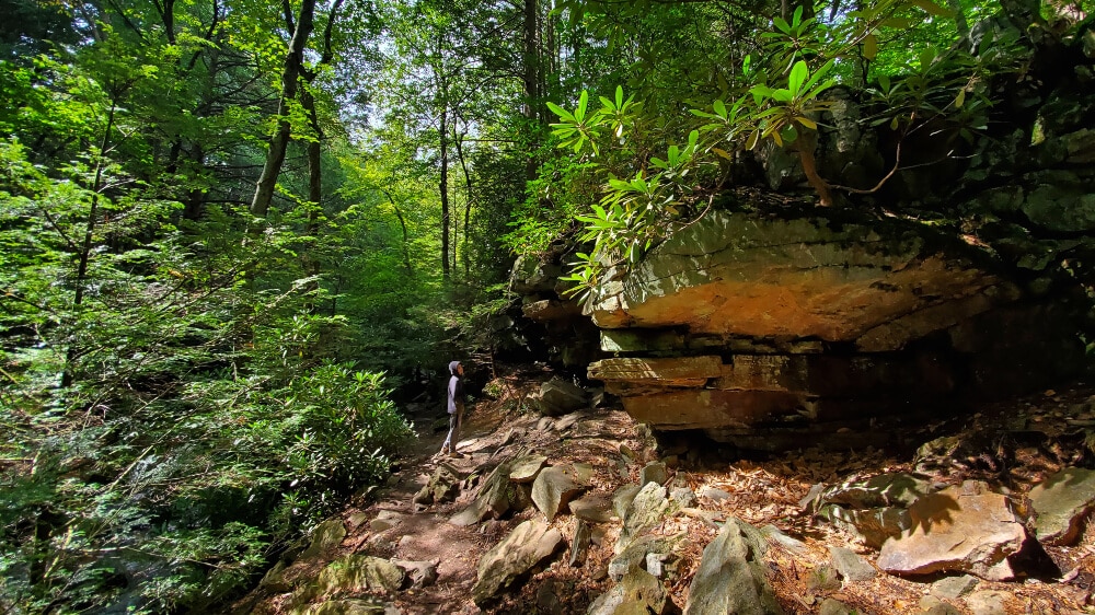
The trail is an out and back trail, and approximately 2.5-3 miles round trip. Leaving from the visitor center, the first part of the trail is nice, but unremarkable. Once you pass the first pond, the fun begins!
Our family was able to complete the trail in about 2 hours, with taking time for photos and snacks. Keep an eye for out blazes. It’s easy to get off trail, especially in the winter and early spring.
Hawk Falls at Hickory Run State Park
- Trail Location: The Hawk Falls trailhead is located on PA-534 (41.01033379339081, -75.6345402190877). Park at the lot and walk about 150 feet to the turnpike bridge to access the trailhead.
- Trail Length: The trail is an out-and-back trail, approximately 1.2 miles round trip. You can add an additional 1.2 miles to the hike by including the Orchard Trail loop.
- Trail Difficulty: Easy side of moderate, mostly due to the incline. Otherwise, the trail is pretty flat.
Another popular trail at Hickory Run State Park is Hawk Falls. This kid-friendly waterfall hiking trail is 1.2 miles out and back. It’s relatively flat, though there is a decline at the start of the trail.
Once you reach the waterfall, kids may enjoy climbing up the rocks on the side of the falls. If you climb to the top, you can meet up with the first half of the trail, shortening your return trip.
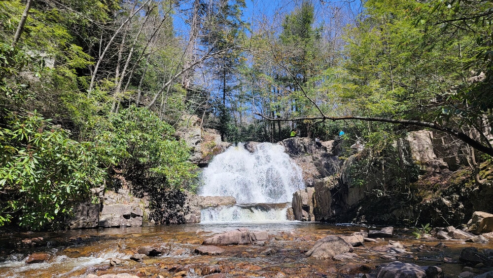
Since the Hawk Falls trail is relatively short, we recommend extending the hike by connecting to the Orchard Trail, which is a 1.2-mile loop. To access the Orchard Trail from Hawk Falls, you’ll have to follow the Hawk Falls trail back to where Hawk Run runs into Mud Run.
Parking for Hawk Falls is available next to the trailhead on PA 534. There are lots on both sides of the road, as this is a popular waterfall trail in Pennsylvania. The trailhead is just a short walk west of the parking lot.
King and Queen Seat at Rocks State Park
- Trail Location: The entrance to the Rocks State Park Rocks Ridge Picnic Area is off St. Clair Bridge Road in Jarrettsville, MD. From there you can easily access the Orange and Red trails which will lead you to the White trail loop.
- Trail Length: Varies- The White loop is about 3 miles long, however you can cut it short by using the Red and Orange trails.
- Trail Difficulty: Moderate to Difficult: Due to the incline and rocks on the trail. The red trail is easy-moderate to the King and Queen Seat.
This beautiful state park is in Maryland, but it still offers a fun, family-friendly hike that is less than two hours from Philadelphia.
There are 3.5 miles of hiking trails at Rocks State Park. The longest trail is the White Trail, which is about a 3-mile loop. You can shorten that loop by taking the Orange and Red Trails to and from the parking area.
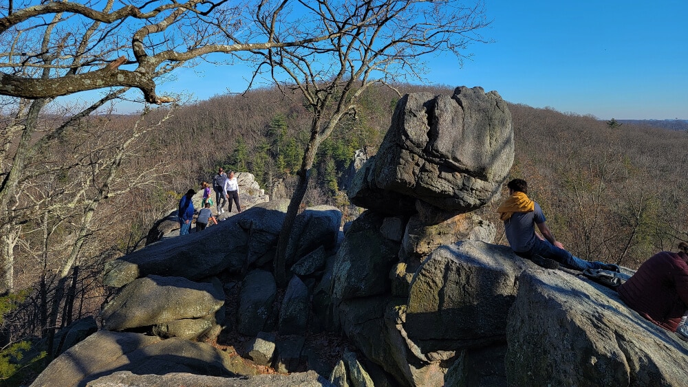
The main draw at Rocks State Park is the King and Queen Seat, a rock outcropping that looks over Rocks Road and Deer Creek. They are fun to climb on and over. Some of the outcroppings are not for the faint of heart, especially if you have a fear of heights!
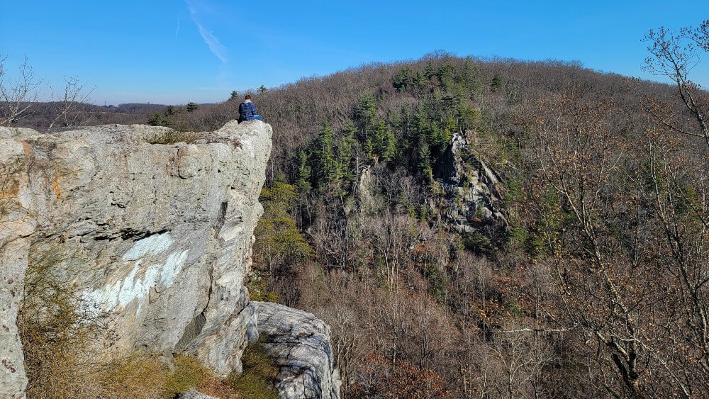
If you want to visit the King and Queen Seat without a long hike, park at the Rock Ridge Picnic area and follow the red trail to the rocks. It’s about a 5-10 minute walk from the parking lot.
Seven Tubs Nature Area
This trail is closed for 2023 due to trail maintenance.
- Trail Location: Seven Tubs Nature Area is easily accessible from the northeast extension of the Pennsylvania Turnpike at 900 Bear Creek Blvd, Wilkes-Barre, PA 18702. There are two small parking lots near the trailhead.
- Trail Length: The main loop is 1/3 mile. The Audubon loop is 1.8 miles.
- Trail Difficulty: Moderate – Although it’s rocky and steep (at one section there is a set of stairs), this trail is still easy enough for younger kids to complete.
For one of the best waterfall hikes near Philadelphia, you’ll have to head to Wilkes-Barre! Located in the Pinchot State Forest, the Seven Tubs Nature Area was formed over 12,000 years and features several pools and waterfalls. Kids will want to jump in and ride like a waterslide! This hike is the furthest from Philadelphia on our list, but it is worth the drive!
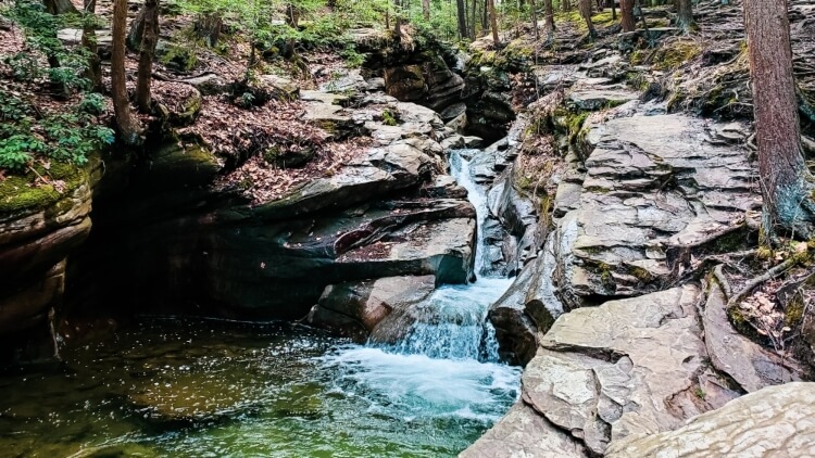
There are two hiking loops at Seven Tubs. The first loop is the main loop which takes you around the waterfalls. About 1/3 mile, the steep and rocky trail takes you up along-side the Wheelbarrow Run. Toward the top of the run, there is a foot bridge to cross and take the trail back down.
The second loop, know as the Audubon loop, is marked by yellow blazes. At just shy of 2 miles, the trail follows along Laurel Run before looping back to the main loop at the top of the waterfalls.
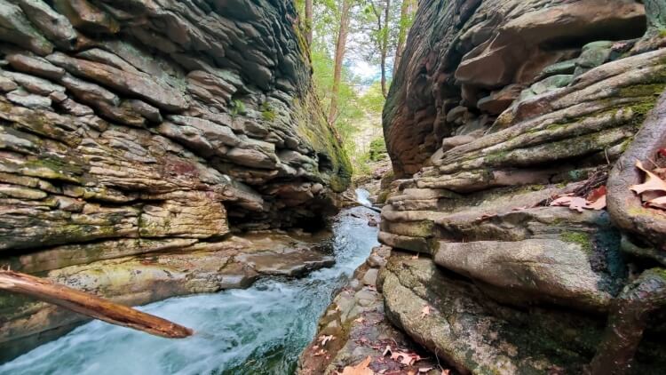
We highly recommend completing the main loop, as the views of the falls and the run meandering through the rocks just can’t be beat. Although the trail is short, you’ll want to spend time enjoying the views. If the weather is warm enough, bring a pair of water shoes for the kids. There are a few areas where they can walk and splash in the waters of Wheelbarrow Run.
Other Places to Spend Time Outdoors Near Philadelphia
If you like to be out in nature with the kids, but would like to do something a little more mellow, consider these options!
- Visit a Nature Center: There are many nature centers in and surrounding Philadelphia. Some of our favorites are the Schuylkill Nature Center, the Churchville Nature Center, and Silver Lake Nature Center. All three of these nature centers have fun walks through the woods that are not too strenuous. The Churchville and Silver Lake Nature Centers are some of favorite places to visit in Bucks County.
- Visit a Garden or Arboretum: The Morris Arboretum has paved paths and few “off-roading” opportunities that make it fun and easy for kids to explore. There are many other kid-friendly gardens in the Philadelphia-area to enjoy, and even hike at!
Read It Now. Pin It For Later!

